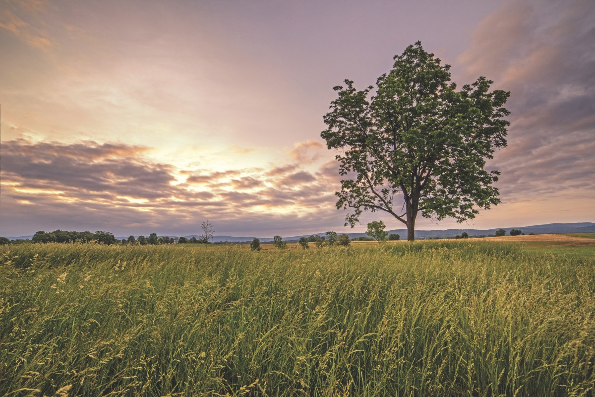
Rolling hills and farmsteads and its bucolic namesake creek are a welcome natural and pastoral relief from the Washington, D.C., sprawl that keeps slowly spreading out from the Potomac River basin. It was anything but enchanting, however, to the Union and Confederate soldiers who fought there on September 17, 1862. “The whole landscape for an instant turned slightly red,” remembered Private David Thompson, 9th New York. The story is well-known to most. Major General George B. McClellan’s Army of the Potomac tracked down General Robert E. Lee’s Army of Northern Virginia, operating north of the Potomac River for the first time, just outside Sharpsburg, Md. Though both armies were worn down from a long season of fighting, they threw themselves into a daylong bloodbath that left 23,000 casualties—at least—in its wake. When it was over, Lee retreated back into Virginia; the United States capital was safe; Abraham Lincoln felt confident enough to change the war’s direction and begin addressing the issue of slavery with the Emancipation Proclamation; and the United States had recorded for history its bloodiest day. The fight was one of the war’s turning points, increasingly viewed as the true Confederate high tide. The following article does not attempt to tell the story of the battle nor to highlight every interesting location. That would be impossible, as Antietam merits multiple visits to absorb its historic atmosphere. Instead, here are a few of our favorite sites with interesting stories. At some point we will be back to explore more battlefield locations. As I said, Antietam is enchanting. –D.B.S.
Not Burnside’s

The Upper Bridge carries Keedysville Road across Antietam Creek to the northeast of the main battlefield. Resembling the more popular Burnside Bridge, it is also a graceful triple-arch stone span. It was built in 1829, and portions of the Army of the Potomac’s 1st Corps and 12th Corps crossed the bridge on September 16. The vicinity is rich in history. To the east are two 1862 hospital sites, and in 1755 British General Edward Braddock and part of his force crossed the creek here during the campaign that ended in “Braddock’s Defeat.”
Last Battle
If you bear left after you cross the Upper Bridge heading west, you travel past some beautiful farms as you near the battlefield and come directly to the East Woods and Mansfield Monument, erected in 1900. The regally named Maj. Gen. Joseph King Fenno Mansfield commanded the Union 12th Corps. He had just taken that command on September 15, and two days later he was mortally wounded when he mistook Confederate troops for Union soldiers.
Cost of Command

Turn right at the Mansfield Monument, and then left onto Mansfield Avenue. When you see the 12th Pennsylvania Cavalry monument, you are on Croasdale’s Knoll, named for 25-year-old Colonel Samuel Croasdale, commander of the green 128th Pennsylvania. As his 12th Corps regiment moved to the attack over this knoll, Croasdale, mounted on a horse, was shot in the head and killed instantly. The ghastly site unnerved his rookie troops.
A Park for Reflection

The handsome granite obelisk just west of the old Hagerstown Pike honors the Philadelphia Brigade, which consisted of 69th, 71st, 72nd, and 106th Pennsylvania Infantry. It is the tallest monument on the battlefield, standing 73 feet high. The 11-acre park was owned initially by the Philadelphia Brigade Association, but it was sold to the National Park Service in 1940.
To Pray

Samuel Mumma and his wife Elizabeth donated a small plot of land in February 1851 to the German Baptist Brethren, or Dunkers, to build a church, and the small chapel that became a battlefield icon was built in a notch carved out of the West Woods. The Dunker Church survived shot and shell, but collapsed during a 1921 storm. The current structure is a reconstruction, built in 1962 with as many original materials as possible.
To Remember

The Mumma graveyard dates to the 18th century. The Mummas permitted other families to be interred there, and you’ll see stones with familiar battlefield names such as Sherrick and Roulette, among others. Soldiers were buried here after the battle, but later moved to the Antietam National Cemetery.
Piper Orchard
When you visit the Sunken Road area of the battlefield, take the time to visit the large Piper apple orchard. Confederate artillery was posted here, and later Confederate infantry occupied the exposed position while trying to hold the line after the Sunken Road fell. Private W.B. Judkins of the 22nd Georgia remembered, “the company was in the thick of the fight there in the apple orchard and cornfield. The ground was covered with apples where we fought, shot off the trees.”
The Last Waltz

Meager parking hampers access to the obelisk off Harpers Ferry Road that honors the 9th New York’s assault that nearly reached Lee’s rear. There is a lot to see down that path: The position of a South Carolina battery, a Connecticut monument, a mortuary cannon to Union Brig. Gen. Isaac Rodman, the 9th’s obelisk, and a sweeping view.
Tweet Yourself

Four miles northeast of Sharpsburg along Route 34 you’ll find the no-frills Red Byrd restaurant. Mix with the locals as you enjoy a hearty breakfast before your battlefield tramp. And you might want to return for menu items like the Keedysville Burger and fried catfish. Save room to choose from a carousel full of homemade pies and cakes.

